Maps
Spatial references for Floraville, the Foundry, and the pressure-field around them. Click any map to open the full-size version.
NSW context
Big-picture orientation: Lawson, Kandos, Morisset, Sydney CBD, and Floraville.
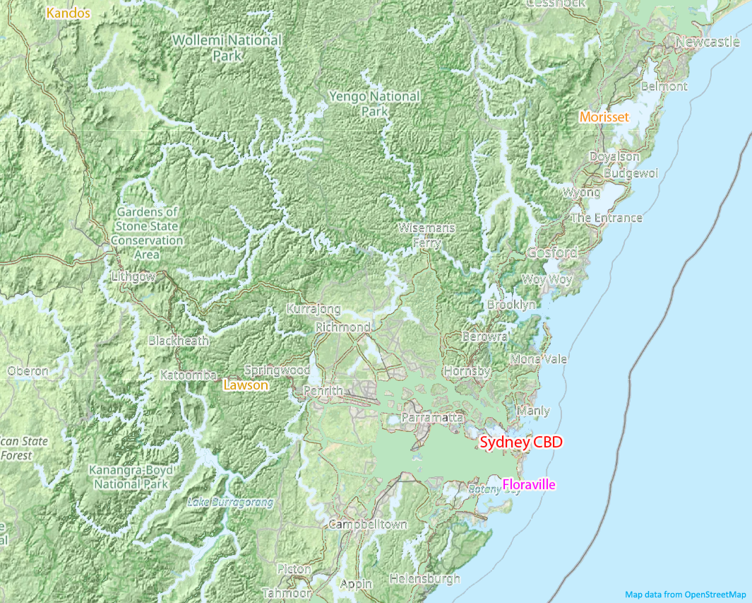
Base map: © OpenStreetMap contributors (where applicable).
Sydney metro
Pressure field and proximity map for key Sydney nodes around Floraville.
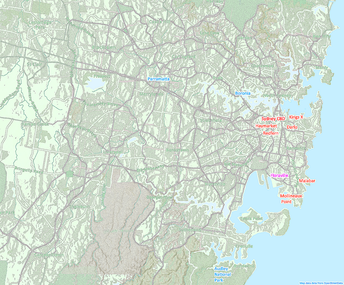
Base map: © OpenStreetMap contributors (where applicable).
Floraville
Administrative boundary map: a fictional suburb drawn to feel bureaucratically real.
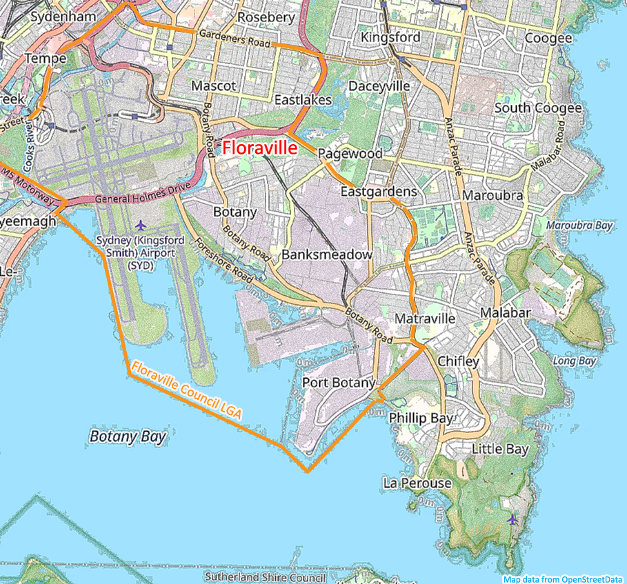
Base map: © OpenStreetMap contributors (where applicable).
Foundry complex
The Foundry’s lived-in layout: how the space is claimed, worked, and defended.
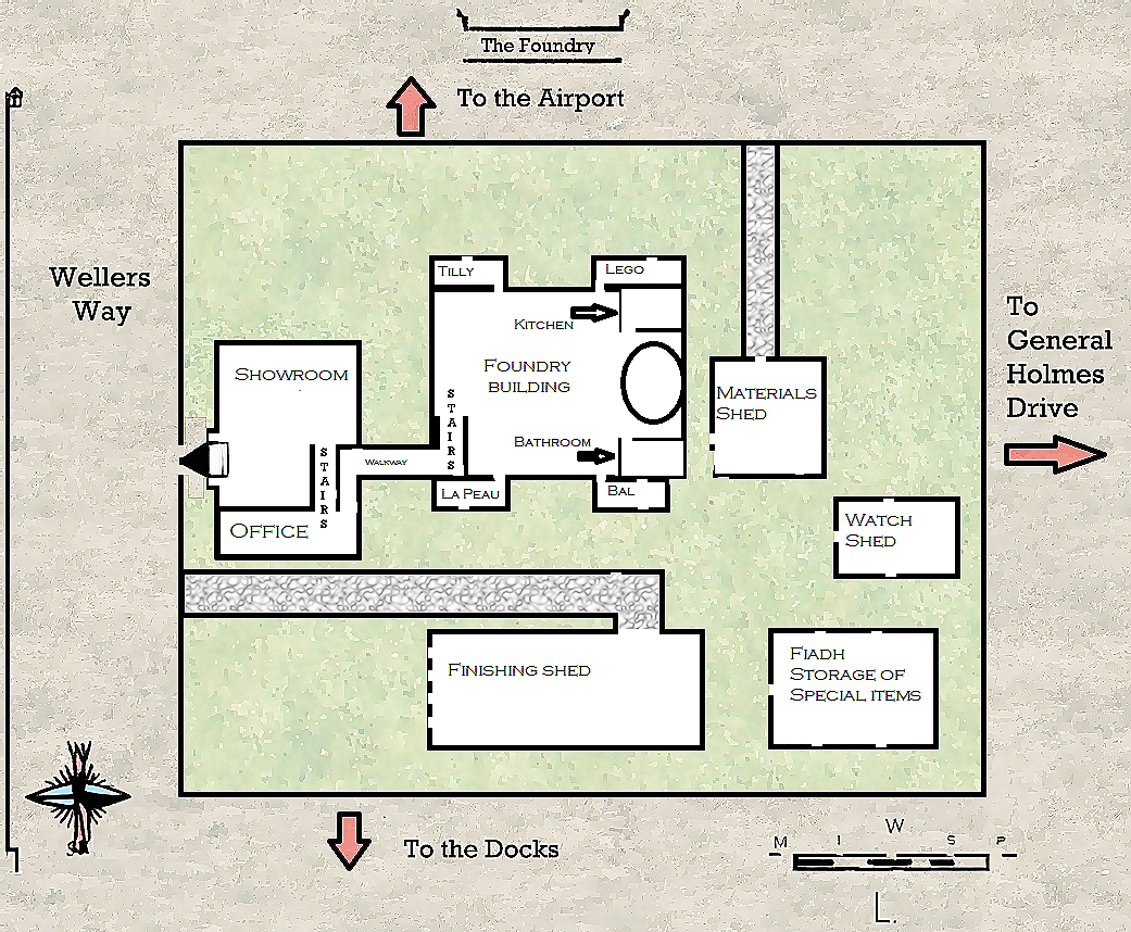
Base map: © OpenStreetMap contributors (where applicable).